Cory Silva
I'm a web developer + designer with a love for IT and GIS.

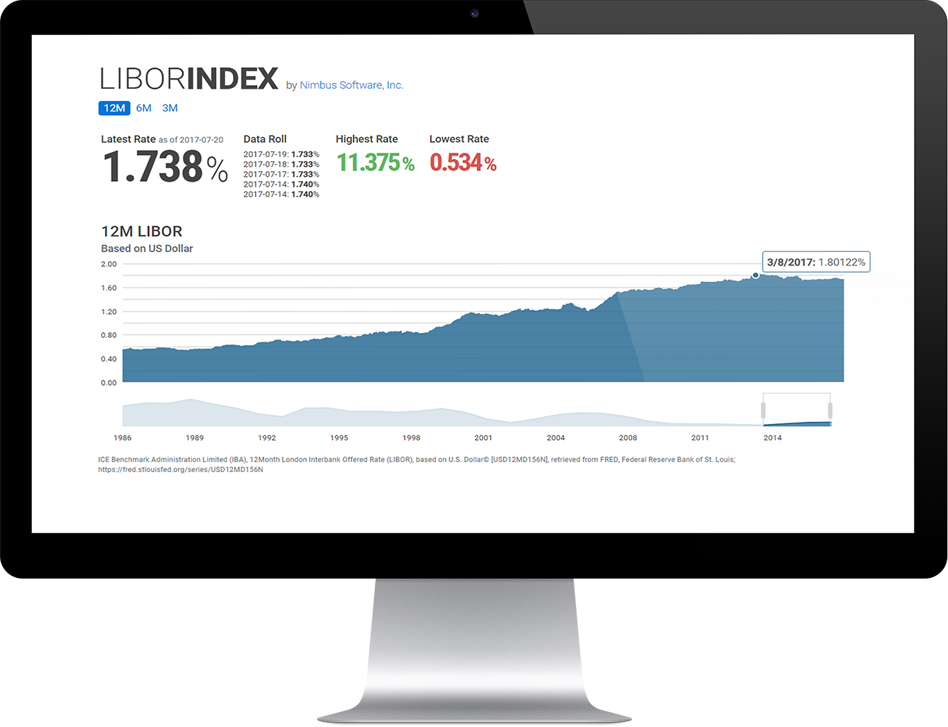
Rates
This microservice was used internally and leveraged as a marketing app to aid lenders in the pricing of ARM loan products.
Role
- UI/UX Design
- Integrate with the Federal Reserve Economic Dataset
- Integrate with Floify app store
Coldfusion Coldbox REST/Swagger Kendo AngularJS PostgreSQL

Automated Underwriting
Mortgage loan decisioning engine and single page application for the non-conforming market.
Role
- Needs analysis, data modeling, and application design
- Build integrations to credit reporting agencies
- Interpret investor guidelines to business rules
- Successfully handle Investor (client) UAT signoff
AngularJS Coldfusion REST PostgreSQL MISMO
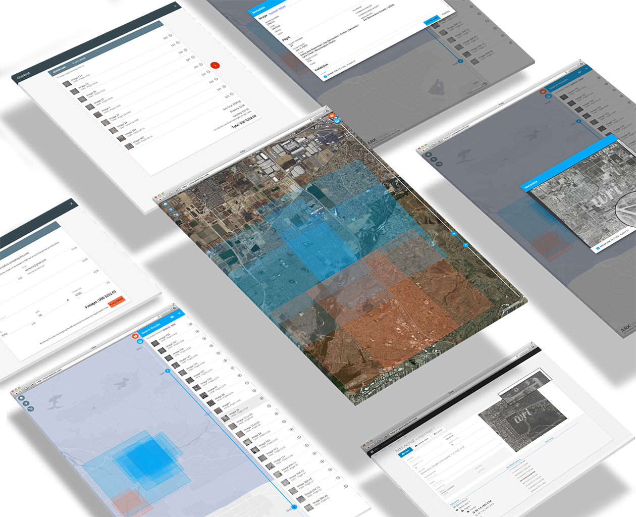
Aerial Photography
Back office historic aerial archiving, georeferencing, and public automated retrieval.
Role
- Frontend and Backend Development
- Create storage strategy and schema of 12TB
- Integrated with XSEDE network as a pilot program
- Establish geo-referencing workflow
AngularJS Firebase ArcMap ArcGIS Server Leaflet Go
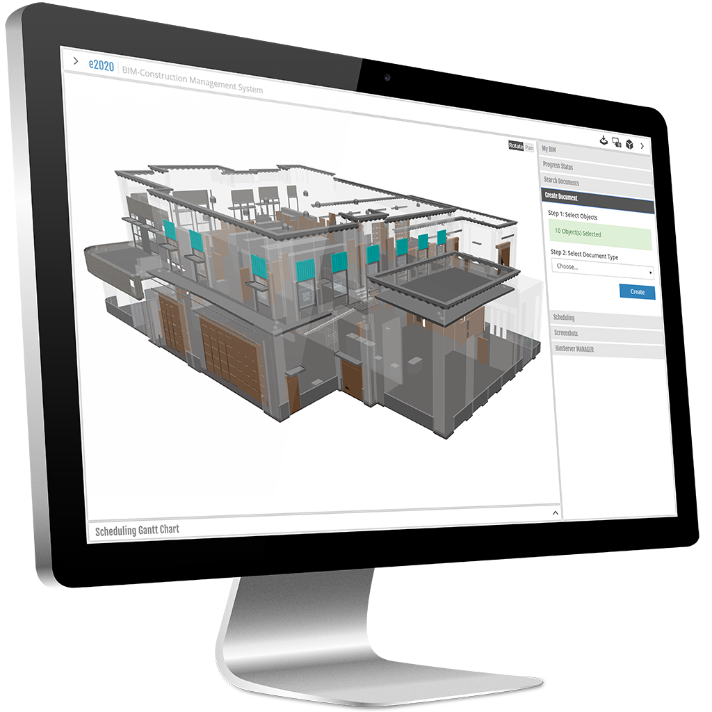
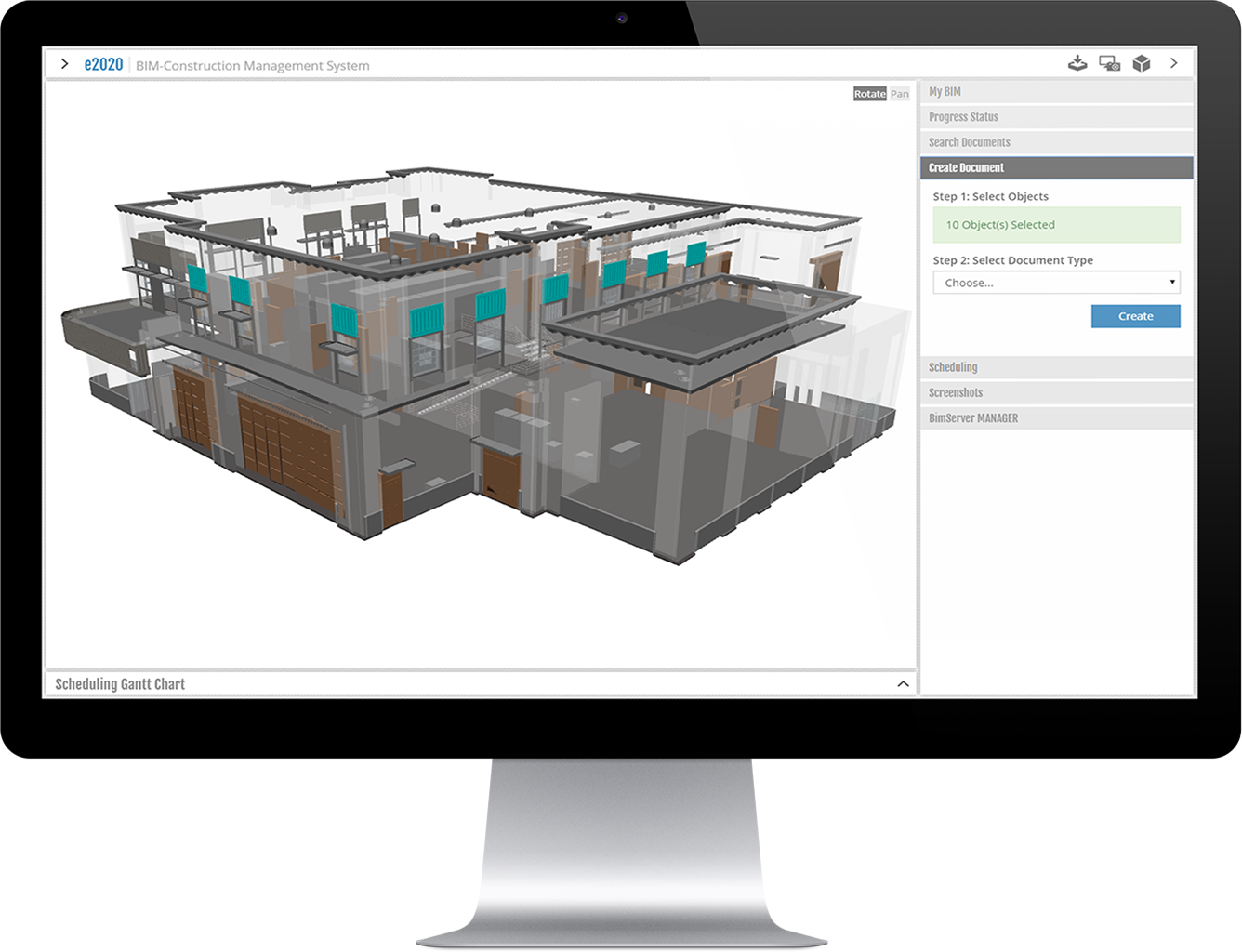
Building Information Model
Custom BIMServer integration into a Construction Management SaaS application.
Role
- Design and develop UI/UX
- Define REST endpoints and data models
- Research and development of a Proof of Concept and MVP
Coldfusion REST MSSQL jQuery UI OpenSourceBIM SceneJS Java
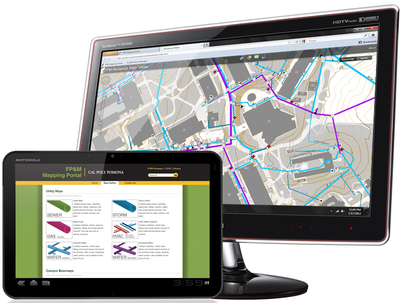
Facilities Management
Custom GIS portal with thematic mapping applications for facilities planning and management.
Role
- Needs analysis with facilities stakeholders
- Front End development, UI/UX
- Build & optimize map services & schemas
- QA/QC datasets & assets
ArcGIS Server ArcSDE ArcGIS Desktop Javascript Adobe Flex
Bio
My love for computers and programming started while in elementary school when a family friend gave me a Visual Basic 4.0 tutorial book. Later in college, I discovered design, design process, architecture, and GIS -- then I started have fun! Web development and its ubiquitous access has become my favorite medium for design. I especially enjoy solving complex problems, automation, and building intuitive user interfaces.
Skills
- Front End Development (AngularJS, Bootstrap, SASS, LESS, Responsive Design)
- Back End Development (Coldfusion, some .NET, REST Architecture)
- GIS Development (Esri Suite, GeoServer, Mapbox)
- DevOps (Vagrant, Gulp, NPM, Git, SVN, Bash, Batch, ANT, Jenkins, TravisCI)
- Web Server Administration (Nginx, Apache, Tomcat, IIS)
- Server Administration (Windows, Fedora/Cent, Bash, Powershell, Virtualization)
- Database Design (PostgreSQL, MSSQL, some NoSQL)
- Domain knowledge discovery, specification, and transfer
- Prototyping and Minimum Viable Product (MVP) design